Sunday, June 25, 2006

Too Cold for Barley


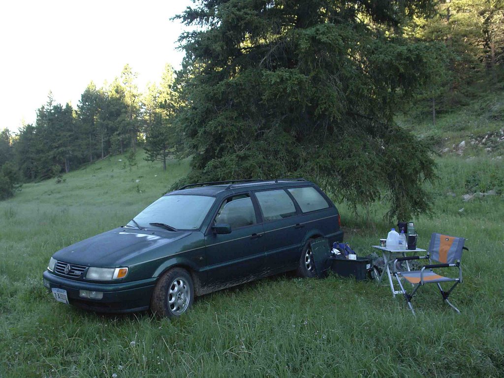
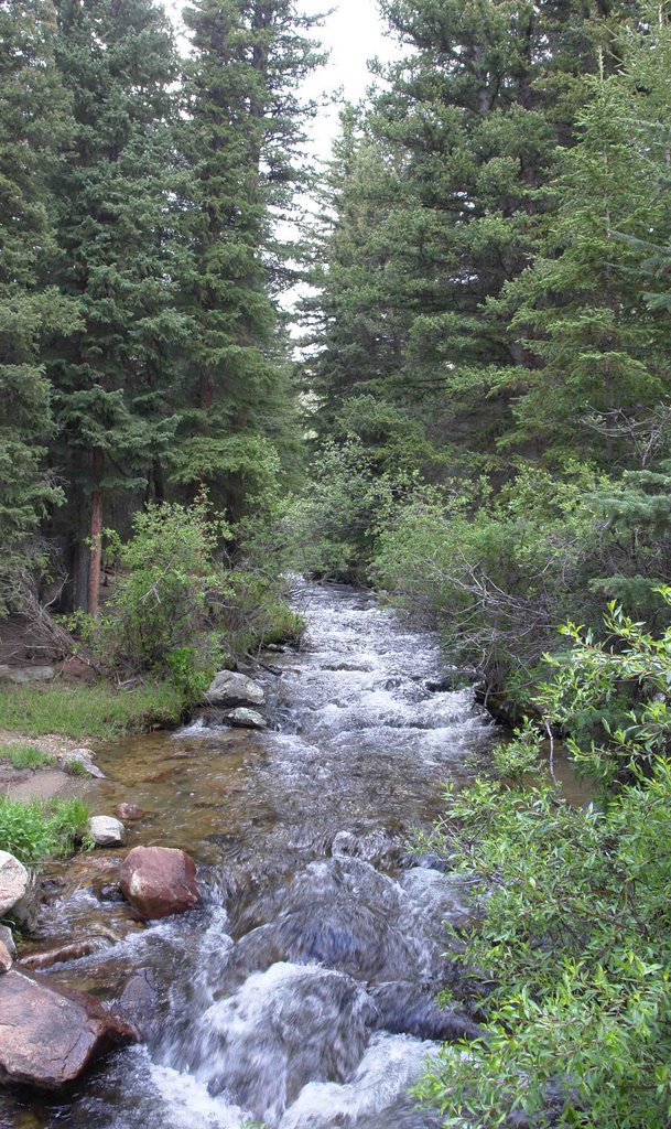
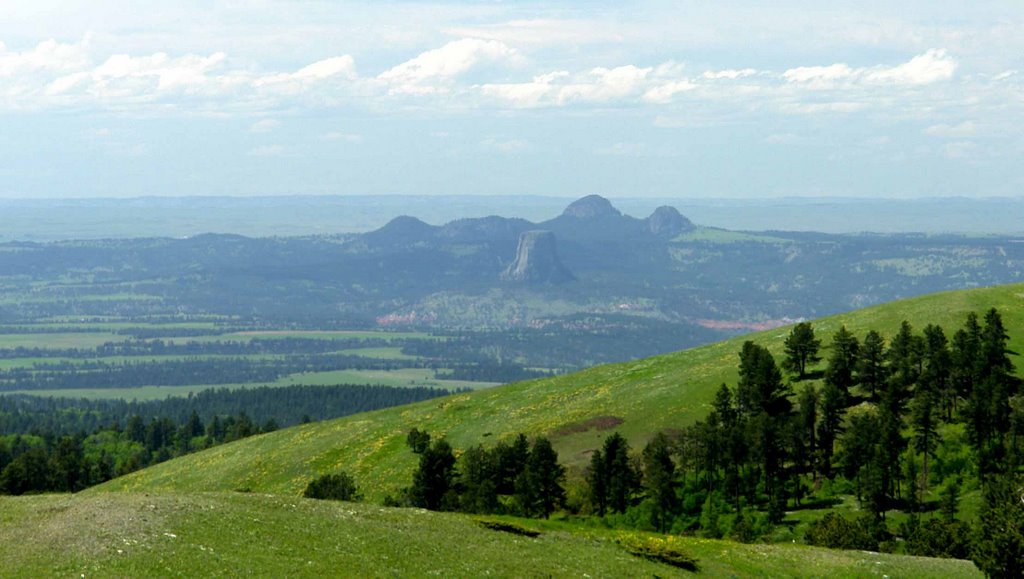
Usually I’d be writing this blog from town, but today I am writing from camp. Then usually I would be fishing this time of day. Both intended creeks, Beaver (South Dakota) and Cold Creek, I found to be no bigger than two hands put together. I don’t doubt there are fish in those creeks, but I can’t imagine there being much size to them, and neither had any deep holes in the areas where I explored. So this morning I am camped in a lush grassy meadow in a little valley just past the divide of the two creeks.
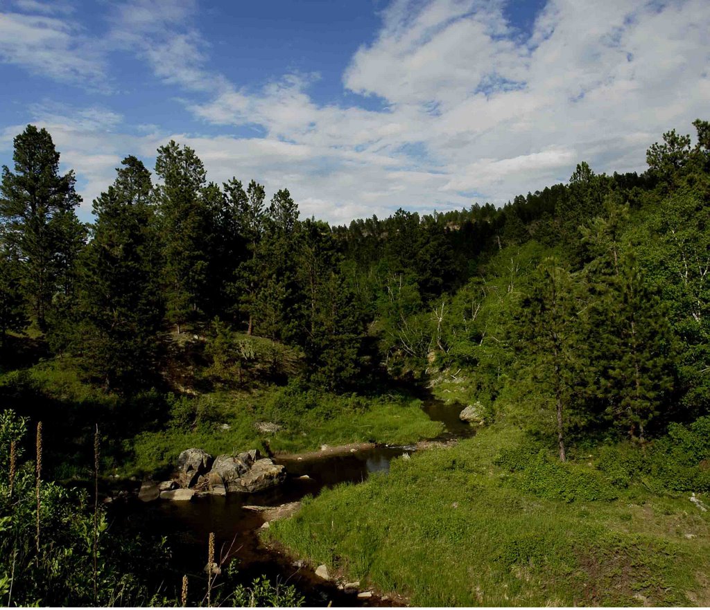
Although accustomed to fishing while camping, I took advantage of the fish-free opportunity to hike the abandoned roads leading from camp. The first I took lead south for a couple miles then stopped at a spectacular cliff overlooking the road I came in on, I bet the cliff is about 800 feet up from the road. The second road I took went north from camp through an aspen grove and pine/ spruce forest. I could see it had been logged many years ago, but they’d not cut the aspen, which were bigger and older than any I’d seen before. This time of year the lupine, larkspur, campion, wild rose and lilies are out and I gave my camera a workout with the many attempts at capturing the colors. The road, really more of a two track trail, curved around and eventually headed south. Being one who has a good sense of direction, I figured I could make a loop and get back to camp. After a few miles, I decided to cut cross-country as a shortcut. I don’t doubt my sense of distance and direction, but I should doubt my sense of elevation. Every time I went west towards camp, I came to the tops of cliffs ranging from sixty or seventy feet, to a hundred or so. I instinctively checked my pockets for survival gear and found I did have a swiss army knife, a lighter, a watch (showing I’d been hiking for two hours), and no food, not even gum or candy. Since I was dressed in shorts and a light shirt and not wanting to write a survivalman blog, I followed the trail back the way I came, and got back in as the sun was fading behing the hills.
This is not a place I’d want to spend a night out unprepared, for when I got up this morning there was a thick frost on everything and it was cold enough to make both me and my recently short-shorn dog shiver. Barley prefered to stay in the car, so I ran the heater for a while. Although June 25th, this is high elevation, I’m guessing around 7200 feet, but then again, I don’t have a good sense of elevation.
PS: I checked the elevation on the map, it is 6,400 feet

Friday, June 23, 2006

Monday, June 12, 2006

The West Fork of Clear Creek


If circumstances ever find you in the vicinity of Buffalo, WY, and you’ve got a hankerin’ for some trout fishin’, you may want to drive west a dozen miles or so to the Middle Fork of Clear Creek. About a quarter mile off Hwy 16 there is a campground next to the creek, where one can, with a little effort, catch some nice 10-12 inch trout. The fly of choice on this expedition was the famous Bead Head Prince Nymph. A strike indicator on a 5x tippet, made fly-fishing much like bait fishing, every time I presented the nymph, I caught a fish. But like other small streams, only one fish per pool, after that, the pool would have to rest until the fish forgot one of their buddies had just splashed around crazy out of control. Before long, the challenge was gone, so I looked for some other water. Now, here is a secret, Across the highway from the campground is a private lodge known as “ The Pines”; this property is on Forest Service land, and one can drive past the buildings to the corrals, park and walk a short distance to trail number 107. The trail parallels the creek through some willows and meadows for a ways before dropping through a boulder-lined canyon. A piece of advice, the best fishing is on the first half-mile. I hiked a couple miles through the canyon and into more meadows, but the water was moving much to fast to be easy fishing. Back at the upstream willows there are a couple nice pools that each produced a half-dozen or so 12-14 inch rainbows in a couple hours of fishing on a fine June morning.

Monday, June 05, 2006

Beaver Creek, another fine stream


This weekend once again found me camping in the Bear Lodge Mountains; this time I found a very nice spot on the east end of Cook Lake, the only lake in the Bear Lodge. The reason I was there was not so much for the lake, but for the stream, Beaver Creek, which I'd been told contained populations of wild trout. Arriving late on Saturday, I hiked around the lake, then on the Cliff Swallow Trail that follows the creek before cutting across a gully and rising to follow a ridge back to the lake. In the evening I fished the lake only to catch bluegills and see some massive carp wallowing in the shallows.
Next morning I made a quick breakfast and a thermos of Starbuck's Sumatran then, fly rod in hand and Barley leading the way, we hiked to the stream. For the next four hours, I caught more rainbow trout than I needed to, mostly 12-14 inches, a couple in the 16 inch range and oodles of 6 inchers, the further I got from the road, the bigger the fish were. I eventually settled in to fish the pools beneath the cliffs, and after catching a few brook trout, the fish stopped biting, just like a switch went off. I tried a number of flies, but nothing worked. It was past noon, I was hungry, so it was time to quit and head back to camp.
After lunch and a nap I read a couple chapters of Murakami, then headed back the long way through the little towns of Alva and Hullett and past the great stone outcropping known as Devil's Tower. I included a couple photos, one is of the tower from the Warren Peak in the Bear Lodge Mountains looking west.

Cook Lake at Twilight

The Tower from Warren Peak